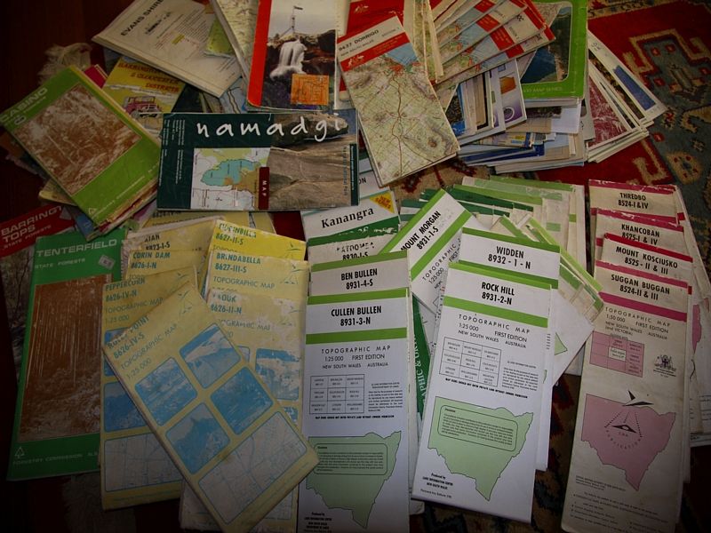
Having to purchase maps comes with the territory or without the maps, one is severely hamstrung on the Great Divide.
Here are a few types of maps that can enhance the topos or a GPS.
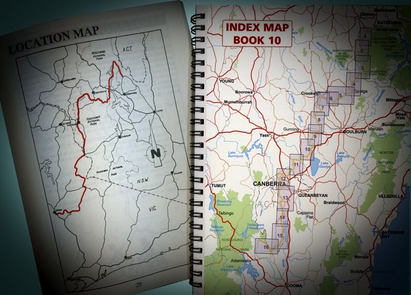
The new BNT Guide Books are A5 and have a lot of detail. From an overall strip map in each book to detailed coloured topos describing each day's travelling and route. Guide books of the BNT in Victoria are still the old editions ... mudmaps.
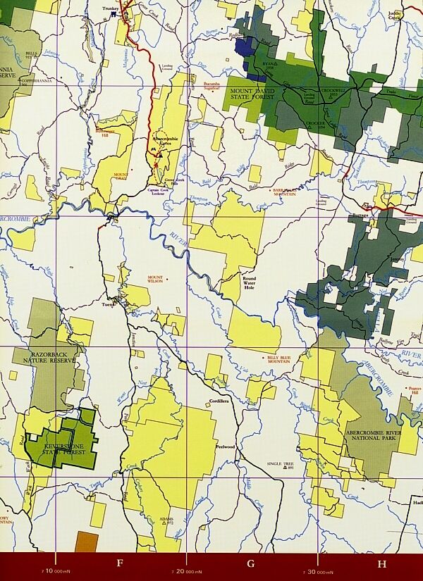
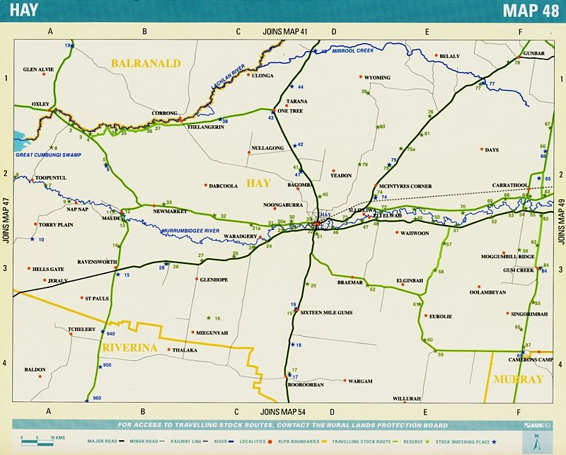
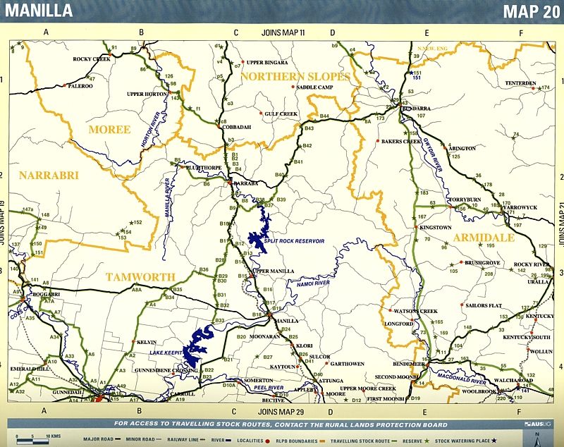
The NSW State Forests maps are very good for planning because they give you the big picture of what remains as our public lands in NSW. They show the existing Crown Land separate to National Parks. Maps are $8- $11.00 each. Long distance travellers still have the right to roadside camp on Crown Land, Australia wide, not just in those road-side rest areas. NSW Forestry Maps cover 16 forestry regions.
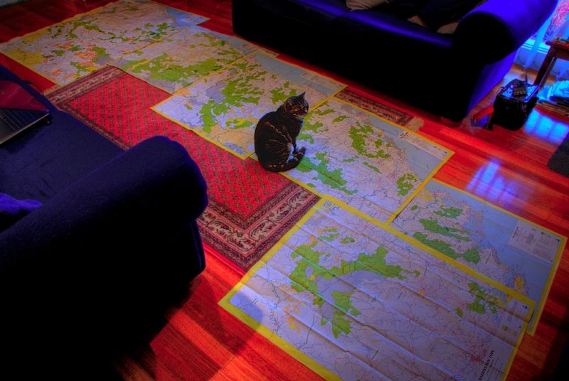
NSW State Forest maps from the Qld Border to the Barrington Tops and Alice the cat.
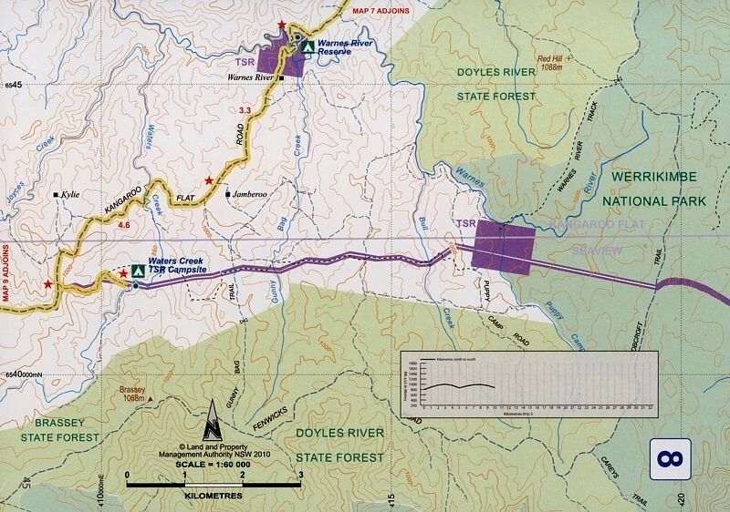
Crown Land is easily found being yellow. The Travelling Stock Routes are the ribbons of yellow.
The TSRs both Routes and the Reserves are shown in purple in the BNT Guide Books.
The unformed roads on the TSRs are some of the best off-road MTB'ing going. Mountain bikers are not excluded from TSRs. If a TSR is in a National Park Wilderness region, riders have the right to be on them.
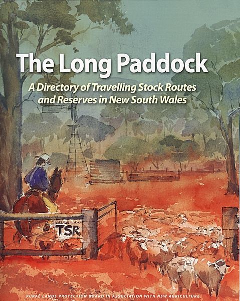
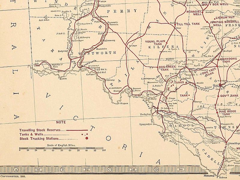
NSW Dept of Primary Industry also sells a weighty master work called the 'Long Paddock, A directory of Travelling Stock Routes and Reserves in NSW'. The reserves are numbered region by region and the extant stock route are lined in green. The atlas/directory is $38.00 before postage. Postage is about $10.
In all Livestock Health and Pest Authority regions (LHPA) in NSW except for the Northern Rivers LHPA Region, camping on the TSRs is free to touring cyclists. In the Northern Rivers LHPA Region it is now $25 a day to camp, unfortunately. That means there are about 3,500 camping sites that are rarely used or even known about except by graziers and drovers.
Every TSR (both Routes and Reserves) is listed and numbered and their water availability and source is given. Whether the water is from rivers, streams, dams, bores, mills, troughs and hand pumps or when there's no reliable water at all. If you can afford a quality water filter, like one in the MSR filter range or a Steripen (certaily not my choice after several reports about failures), water is more available than one first thinks.
The National Library of Oz has a digital map collection of historic maps, if you like old coach roads.
Warren.
PS, there are 65 x 1:25,000 topos that cover the BNT in NSW, making the electronic map package 'Memory Map' most affordable just for the BNT.
") One tip I was given was even if you do buy the paper versions, get them colour photocopied so you don't trash your origionals out on the trail.
One tip I was given was even if you do buy the paper versions, get them colour photocopied so you don't trash your origionals out on the trail.