'Ross
Eats Squid
As promised, this is a thread dedicated to the Bruce/O'connor Ridge trails. All discussion regarding this area should be had here.
IT IS IMPORTANT that people realise these trails are illegal, although it is hoped that this can be rectified in the future, or some form of agreement reached...but until then building any new trails there will only hurt the cause.
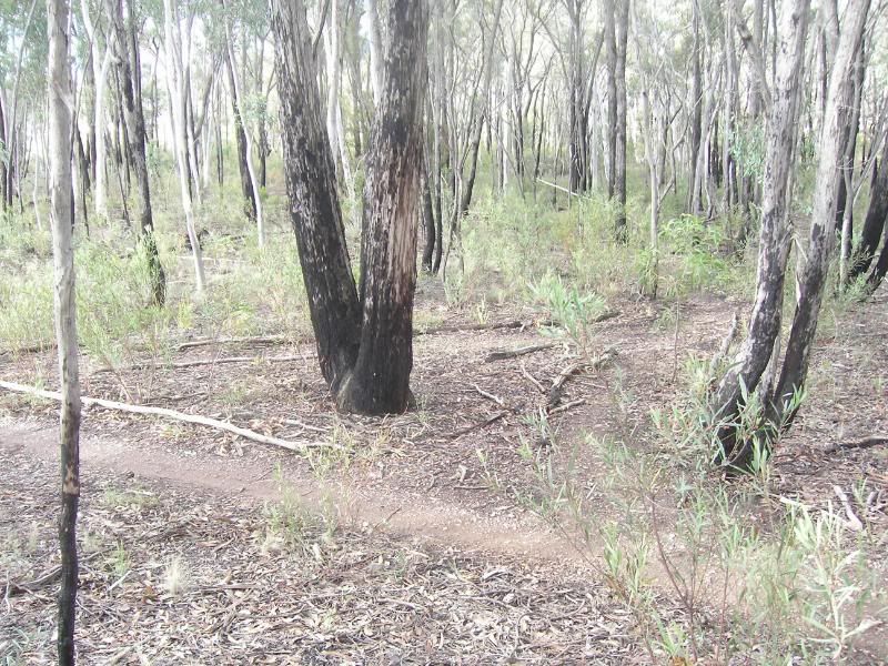
The trails are very popular and offer a range of different trails that anyone can enjoy. Various trails will suit different styles, bikes and skill levels, there is something for everyone there even if it is not layed out in a very organised manner.
For those who don't know the location of the trails or are looking to go there for the first time, it is very easy to find;
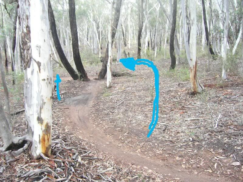
Here is a map, circle indicates the rough location, the blue spray pain represents an underpass near AIS known to me as 'graf underpass' as it is the only one in the area with graffiti, and the entrace to the trails is about 10m from it. Its a good landmark, its on the bike path and just off the gungahlin drive bike lane exit.

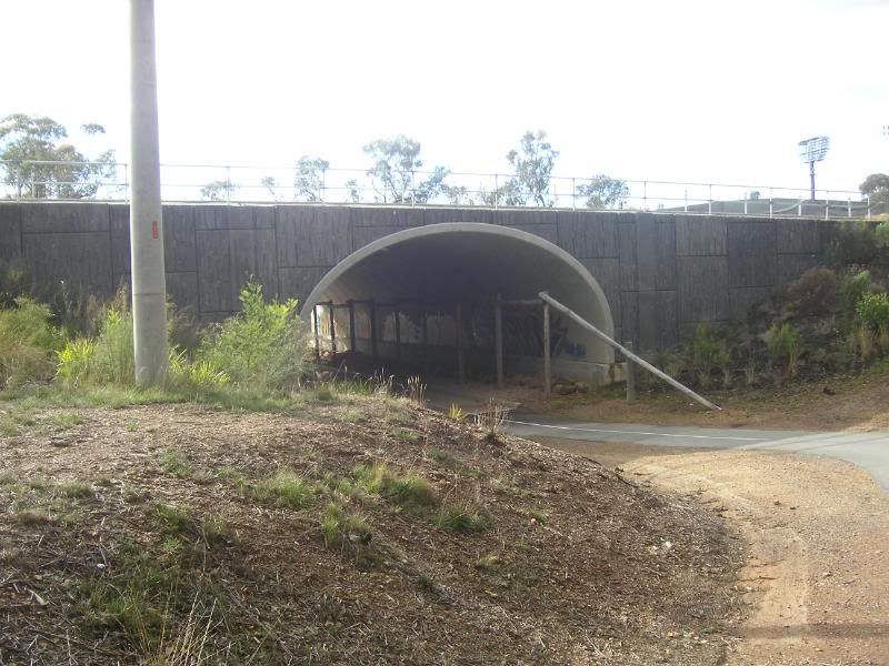
Here is my landmark graf underpass, right next to the AIS athletics ground, directly behind is the entrance I use to the trails, there are plenty of other ones but this one seems fairly popular.
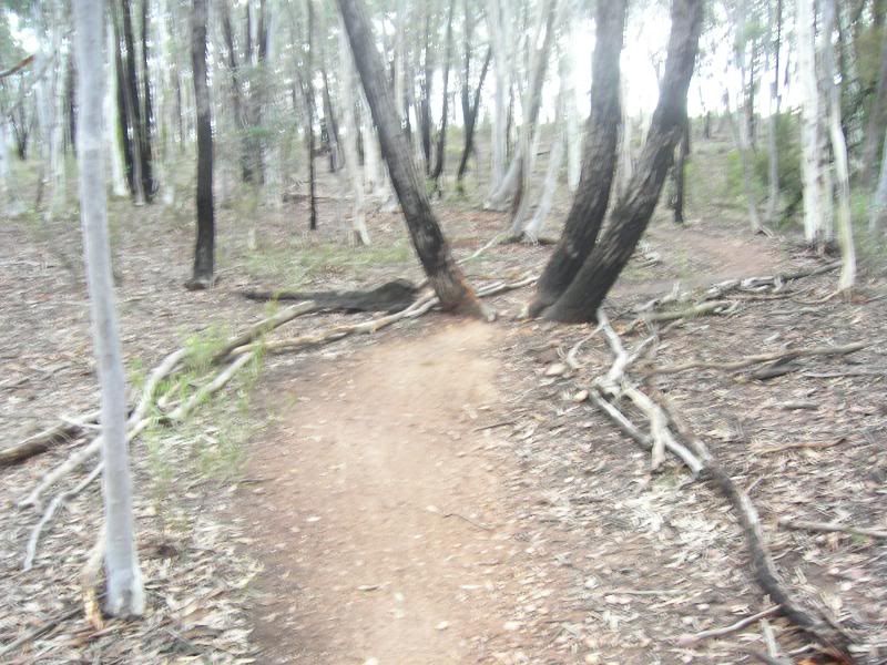
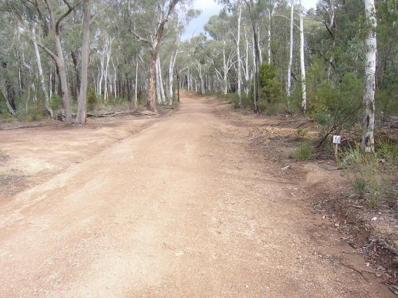
And this is the entrance, various fire roads and various entrances to various trails, I hope to make a decent map in the future of the trails, which will be more useful for riders.
Just remember the trails are not legal! Do not make new trails as it will only hurt future development.
enjoy")
IT IS IMPORTANT that people realise these trails are illegal, although it is hoped that this can be rectified in the future, or some form of agreement reached...but until then building any new trails there will only hurt the cause.
The trails are very popular and offer a range of different trails that anyone can enjoy. Various trails will suit different styles, bikes and skill levels, there is something for everyone there even if it is not layed out in a very organised manner.
For those who don't know the location of the trails or are looking to go there for the first time, it is very easy to find;
Here is a map, circle indicates the rough location, the blue spray pain represents an underpass near AIS known to me as 'graf underpass' as it is the only one in the area with graffiti, and the entrace to the trails is about 10m from it. Its a good landmark, its on the bike path and just off the gungahlin drive bike lane exit.
Here is my landmark graf underpass, right next to the AIS athletics ground, directly behind is the entrance I use to the trails, there are plenty of other ones but this one seems fairly popular.
And this is the entrance, various fire roads and various entrances to various trails, I hope to make a decent map in the future of the trails, which will be more useful for riders.
Just remember the trails are not legal! Do not make new trails as it will only hurt future development.
enjoy