I thought I would start a new thread to cover this.
http://i1125.photobucket.com/albums/l596/nimrodx/existingplus.png
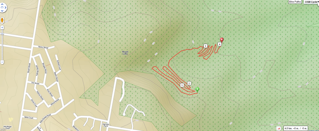
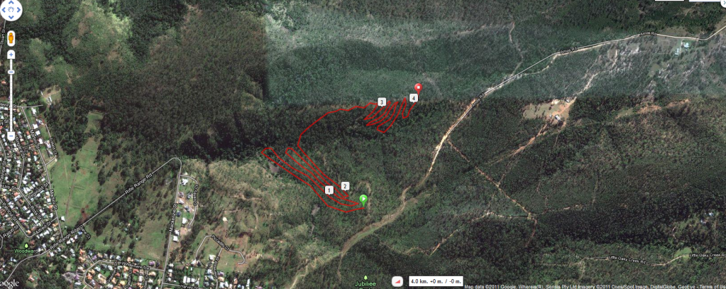
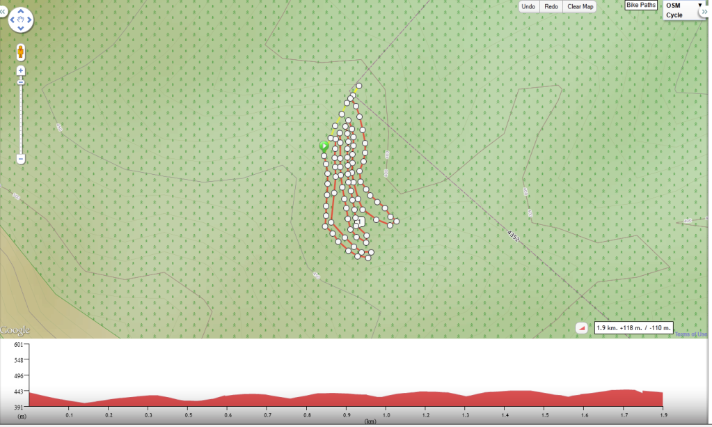
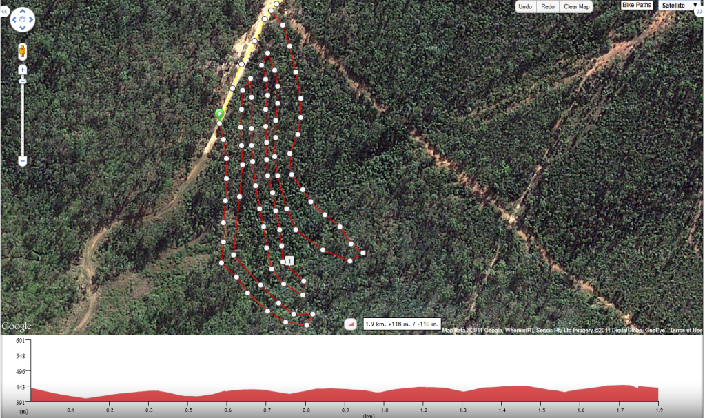
This is a map of existing crebra, turkey, rollercat, (jubilee trail, bridle trail, Hervey st for reference),
with added conector between crebra and rollercat -- and more significantly loops joinging the turkey crebra junction
to crebra further down hill. I am not completely convinced that the contours are correct on these maps --
but they can be ground truthed. These loops and added connectors minimise steep sections by following contours.
More to come.
Matt
http://i1125.photobucket.com/albums/l596/nimrodx/existingplus.png
This is a map of existing crebra, turkey, rollercat, (jubilee trail, bridle trail, Hervey st for reference),
with added conector between crebra and rollercat -- and more significantly loops joinging the turkey crebra junction
to crebra further down hill. I am not completely convinced that the contours are correct on these maps --
but they can be ground truthed. These loops and added connectors minimise steep sections by following contours.
More to come.
Matt